Collaborative Research; Recent Changes in Shelfbreak Exchange Process Oriented Observations of Salinity Maximum Intrusions.
Funded by NSF
Recent warming in the continental shelf and slope region of the northeast U.S. has raised a number of concerns about impacts on the ecosystem and commercial fisheries. Observations from a number of sources including the OOI Pioneer Array, the Ecosystem Monitoring surveys of the National Marine Fisheries Service, and the Commercial Fisheries Research Foundation/WHOI Shelf Research Fleet have shown Warm Core Ring water masses have been transported across the continental shelf much further onshore in recent years.
We are studying one particular process in which shelf and ring water may be transported tens of kilometers shoreward of the edge of the continental shelf. This process, called the ‘ Salinity Maximum Intrusion’ has been identified for decades but to date there has not been three-dimensional hydrographic mapping of these features nor have turbulence measurements been made within these features.
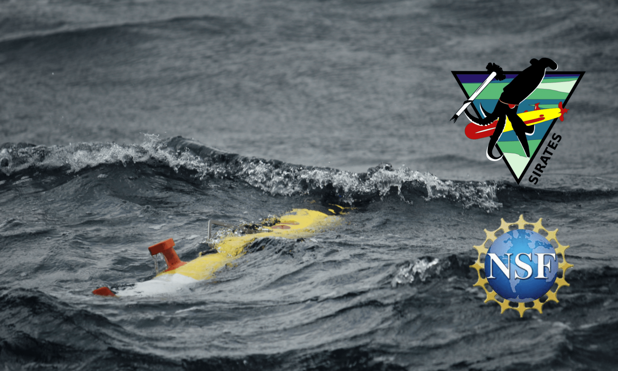
We are using a combination of analysis of existing historical hydrographic data from the three sources mentioned above with the observations from this cruise on the R/V Neil Armstrong. We are mapping the intrusions using two REMUS 100 Autonomous Underwater Vehicles along with shipboard CTD and turbulence profiling. This summer time period is when rings are most likely to be present adjacent to the continental shelf, and this is also when squid make seasonal movements onshore across the continental shelf, typically in pulses.
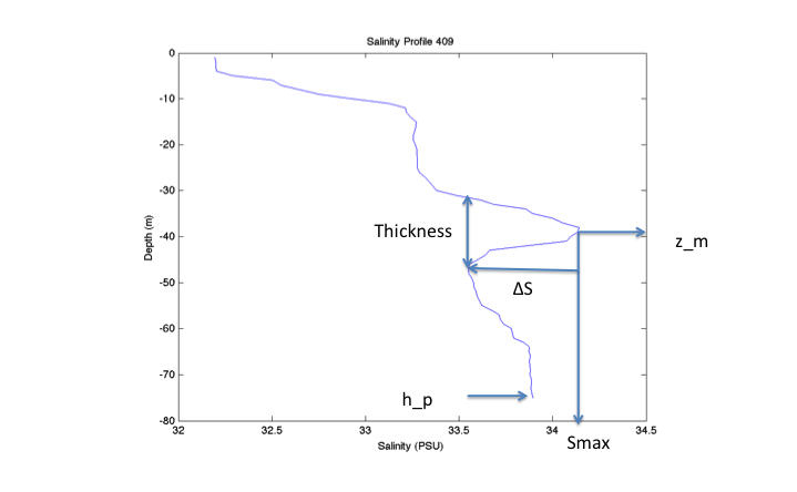
Let us talk about the Salinity Intrusion itself. How is it defined? Here is a simple example. The parameters that are considered now for a generalized salinity intrusion are shown in this salinity profile below.
The dynamics of salinity intrusions on the Northeast U.S. Shelf remain unresolved. Given recent changes in the structure of temperature and salinity on the continental shelf in the Middle Atlantic Bight, it is likely that some characteristics of the salinity maximum intrusions have also changed. Likewise, given the increasing number of Warm Core Rings observed south of New England, it is likely that offshore forcing for these intrusions has increased, possibly increasing the frequency of occurrence.
To date there have been no turbulence measurements within a pycnocline salinity maximum intrusion, and only rarely have their three-dimensional structures been resolved with hydrographic observations. Thus the proposed observations are novel, resolve an important and yet poorly understood exchange process that may have important ecological and economic consequences.